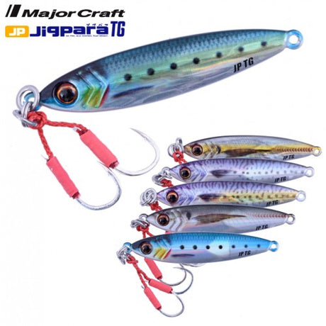
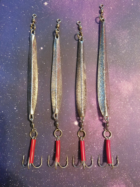
Just In! Major Craft Tungsten Jigs!
New Major Craft Tungsten Jigpara Jigs - Cast like a bullet, Get down fast, and Stay down. Most importantly..They Flat Out Catch Like Mad! The staff at the Goose...
Matthew Whittle
FREE Shipping on Orders $75.00 or More! (Some Exclusions Apply - Kayaks, Canoes & Oversized Items)
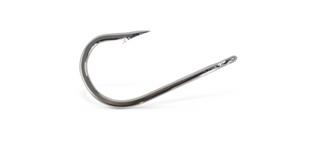
NORTH ATLANTIC JIG & TACKLE
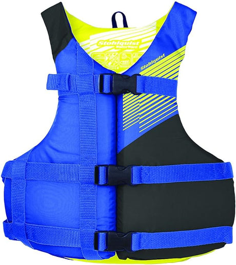
STOHLQUIST
STOHLQUIST FIT PFD ADULT BLUE/YELLOW 4 PACK
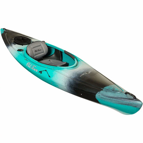
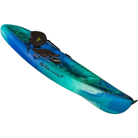
OCEAN KAYAK
OCEAN KAYAK MALIBU 11.5 SEAGLASS

YETI COOLERS
YETI RAMBLER WATER BOTTLE 26 OZ W/COLOR-MATCHED STRAW RESCUE RED
New Major Craft Tungsten Jigpara Jigs - Cast like a bullet, Get down fast, and Stay down. Most importantly..They Flat Out Catch Like Mad! The staff at the Goose...
Matthew Whittle
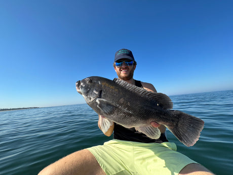
Known for their strong fighting spirit and delicious white flesh, tautog make for an exciting and rewarding catch. To successfully target these elusive fish, you'll need to know where to...
Matthew Whittle
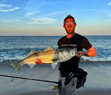
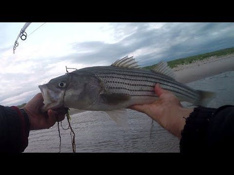
Title: Mastering the Art of Striped Bass Blitz Fishing: Techniques to Catch More Fish Introduction If you're an angler who loves the thrill of chasing big, powerful fish, then striped...
Matthew Whittle
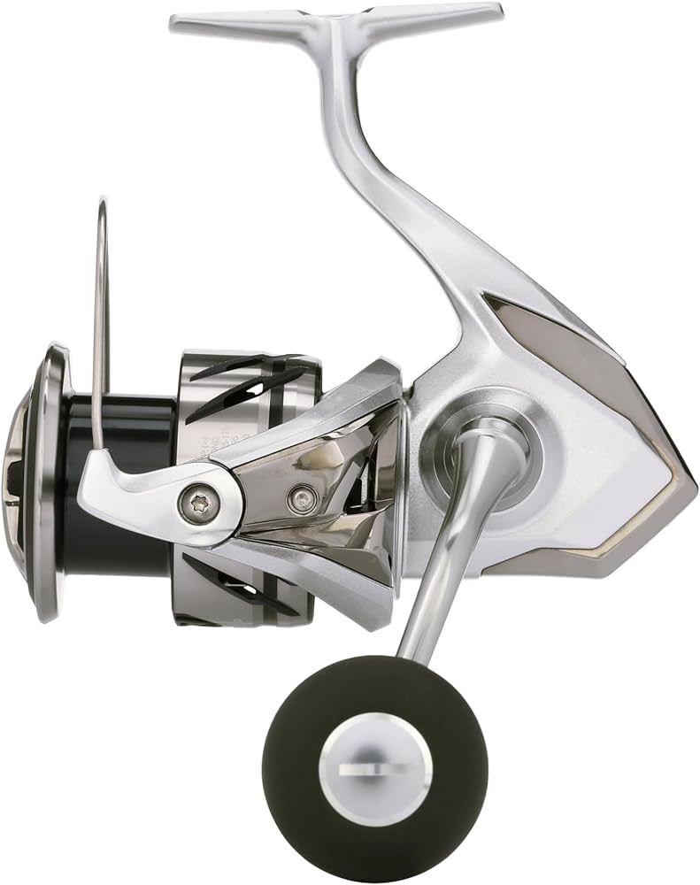
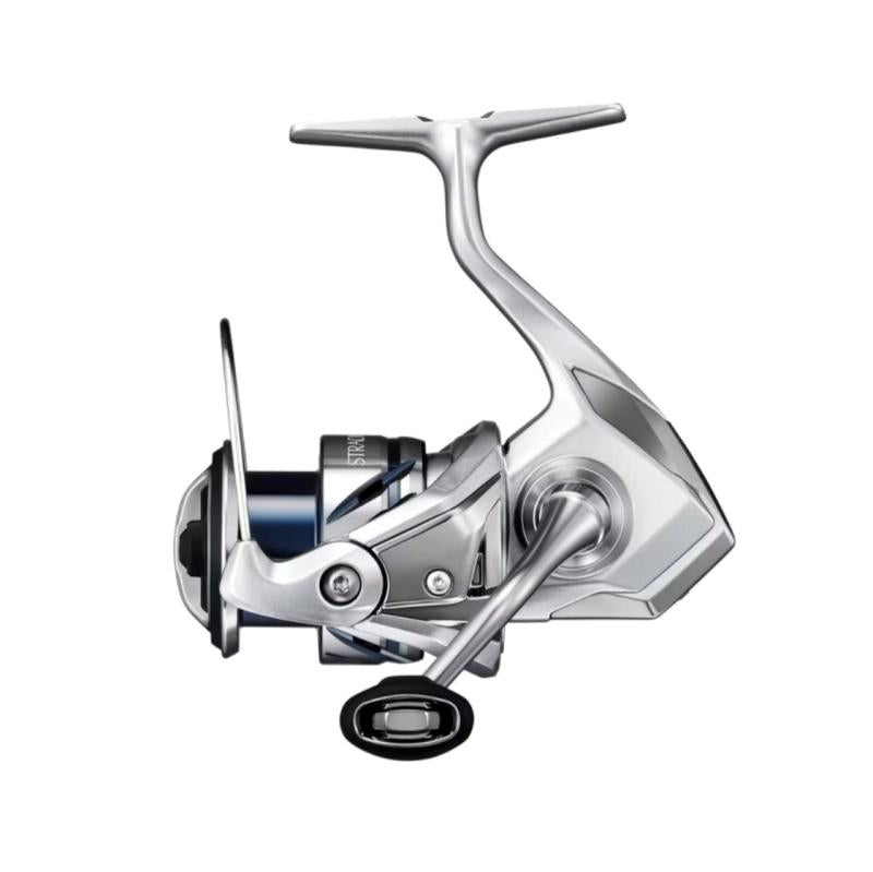
SHIMANO STRADIC FM SPINNING REEL - ST1000HGFM is backordered and will ship as soon as it is back in stock.
From dive depth to long cast technology, pick and choose what works for you.
| Facet | |||
|---|---|---|---|
| By | |||
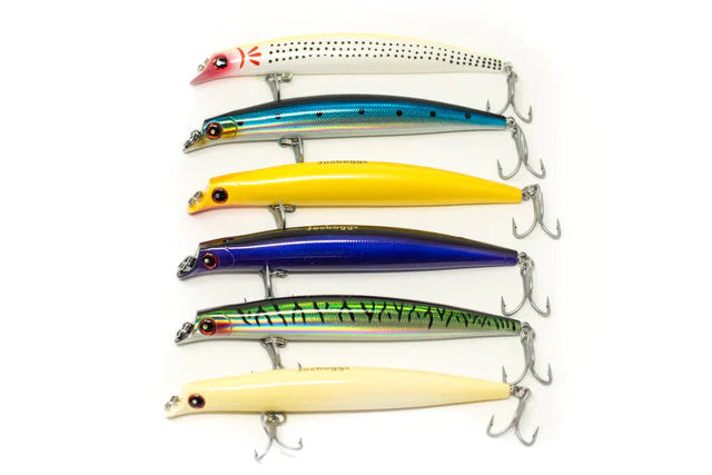
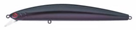
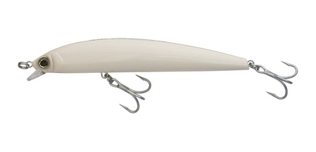
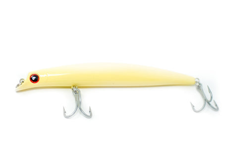
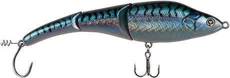
| By | Daiwa | YO-ZURI | JOEBAGGS |
| Price | |||
| Price |
From
$ 9.99
Unit price
/
Unavailable
|
From
$ 9.99
Unit price
/
Unavailable
|
From
$ 9.99
Unit price
/
Unavailable
|
| Description | |||
| Description | The Daiwa Salt Pro Minnow was designed to catch a wide variety of game fish and has grown popularity. The Salt Pro Minnow is a long casting bait designed for a fast, ripping style retrieve that produces an erratic... | The Hydro Minnow LC will be available in two different sizes: 6” and 6-3/4” and will also be available in 10 time tested and proven colors to cover an array of fishing situations from casting to stripers from... | These life like hybrids dive between 6-24 inches and have a tight wiggle to attract predatory fish. They're a full 6 inches in length and have shifting weights to allow for distance casting. They also have a weight... |